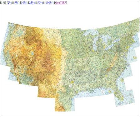
High resolution sectional charts for the entire U.S. are available at Kyler Laird’s aviationtoolbox.org. How cool is that?
These charts are not up-to-date, but they’re great for illustration, teaching, and web-based excerpts. Also, be aware that the downloads are pretty large. The south side of the Los Angeles sectional chart was more than 42 megabytes. The detail is worth it, though.
Kyler has other cool tools on the site. One of my favorites is the sectional mosaic. It starts you off with a mosaic of all the sectional charts. As you click on the image, it drills down into the appropriate sectional, allowing quick access to any point on any sectional in the country. Beats keeping a stack of expired charts on your desk just for occasional reference.


Is there a way to download georeferenced High resolution sectional charts without the legend and that are updated frequently?